Level up your mapping game by uploading, downloading and creating new maps with Soar and share them with the world!
What you will learn
How to upload your map data into a global atlas
How to search for and download maps in Soar
How to acquire free and paid satellite images to use in GIS projects
Learn the benefits to a wide variety of professionals in many fields
Description
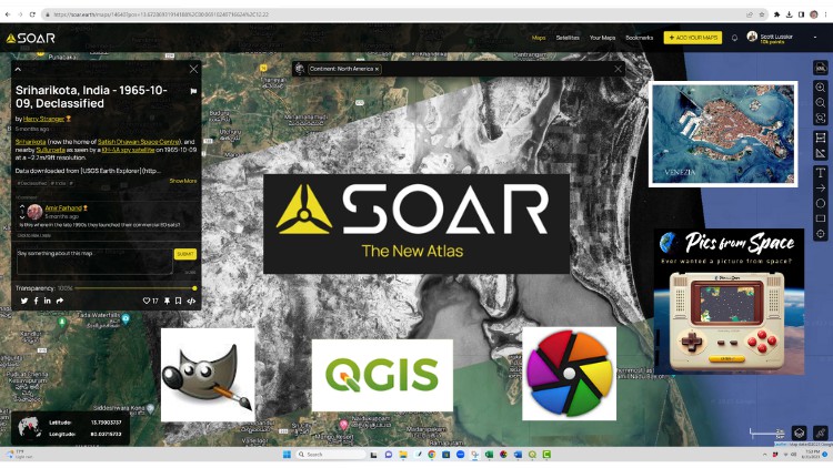
Soar is an exciting new mapping platform that I believe will change the way everyone searches, consumes and uses map based information. The bold mission of this software is to build a new digital atlas of all the maps. It is a platform that will allow everyone to find maps, ON a map. Once you try this you will be hooked, just as I was. And that is why I made this course. It’s great technology that map makers and everyday folks will soon use to get locationally relevant data. As a daily map maker, I am excited about what this software allows and want to share it with everyone.
‘;
}});
We cover all the basics of this software, like how to find maps, upload your own maps. We also dig into other ancillary software that you can use along with Soar, such as Pics from Space, QGIS, GIMP and Darktable. By the end of the course you will be uploading your own data and / or downloading other map information and learning about things all over the earth. The best part about Soar in my opinion is the way it brings people together around the globe. So come join me and I will teach you all about this great technology. I even kept the class to under 2 hours so you can watch for free. Cheers!
